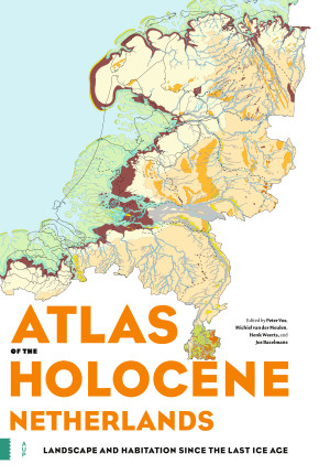
Atlas of the Holocene Netherlands
Titel
Atlas of the Holocene Netherlands
Subtitel
Landscape and Habitation since the Last Ice Age
Prijs
€ 104,00 excl. BTW
ISBN
9789463724432
Uitvoering
Hardback
Aantal pagina's
96
Taal
Engels
Publicatiedatum
Afmetingen
24.5 x 34 cm
Inhoudsopgave
Toon inhoudsopgaveVerberg inhoudsopgave
Preface Introduction 1 The Netherlands in the Holocene 2 What came before? 3 Rising sea levels 4 Tides and waves shape the coast 5 The big rivers fill the delta 6 Peat covers the land 7 Human intervention 8 How the maps were compiled 9 Notes on the map legends The maps 9000 BCE Rising temperatures 5500 BCE Rising water levels 3850 BCE Expanding peat 2750 BCE The coastline closes 1500 BCE Peat covers the land 500 BCE The building of terps 250 BCE Changing tidal systems CE 100 Human impact CE 800 Return of the sea CE 1250 Dyking of rivers and salt marshes CE 1500 People shape the landscape CE 1850 Human 'nature' CE 2000 A country created by people Glossary Further reading Acknowledgements

Recensies en Artikelen

"The Holocene history of the Netherlands is a learning site for coastal sedimentary landscapes all over the world. The international community is indebted to this team of experts that shared their deep understanding of landscape evolution. Learning the lessons from this atlas may prevent future catastrophes. It is the main reason why this book deserves very wide distribution."
- Henry Hooghiemstra, Canadian Journal of Netherlandic Studies, 41.1 (2021)

Atlas of the Holocene Netherlands

Landscape and Habitation since the Last Ice Age

De onderstaande tekst is niet beschikbaar in het Nederlands en wordt in het Engels weergegeven.
The landscape of the Netherlands has been changing constantly since the end of the last ice age, some 11,700 years ago. Where we walk today was once a polar desert, a river delta or a shallow sea. The end of the last ice age marked the beginning of a new geological period - the Holocene, the relatively warm geological epoch in which we are still living today. The Atlas of the Holocene Netherlands contains special maps, supplemented by archaeological and historical information. These maps show the geographical situation for thirteen different points in time since the last ice age, based on tens of thousands of drill samples and the latest geological, soil and archaeological research. This magnificent atlas also paints a surprising picture of the position we humans have occupied in the landscape. It addresses such questions as: How did we take advantage of the opportunities offered by the landscape? And how did we mould the landscape to suit our own purposes? The Atlas of the Holocene Netherlands will change once and for all the way you look at the Dutch landscape.
Redacteuren

Peter Vos

Peter Vos is Geologist at TNO, The Netherlands. He is author of Origin of the Dutch Coastal Landscape, 2015.

Michiel van der Meulen

Michiel van der Meulen is Chief Geologist of TNO, The Netherlands. He is author of Nieuwe Geologische kaart van het Koninkrijk der Nederlanden, 2018.

Henk Weerts

Henk Weerts is senior researcher at the Dutch Cultural Heritage Agency (Rijksdienst voor het Cultureel Erfgoed).

Jos Bazelmans

Jos Bazelmans is Head of the Department of Archaeology at the Dutch Cultural Heritage Agency (Rijksdienst voor het Cultureel Erfgoed).