
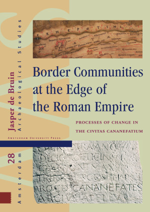
- Titel
- Border Communities at the Edge of the Roman Empire
- Subtitel
- Processes of Change in the Civitas Cananefatium
- Auteur
- Jasper de Bruin
- Prijs
- € 146,00 excl. BTW
- ISBN
- 9789463728102
- Uitvoering
- Hardback
- Aantal pagina's
- 308
- Taal
- Engels
- Publicatiedatum
- 25 - 02 - 2019
- Afmetingen
- 21 x 29.7 cm
- Partner

- Ook beschikbaar als
- eBook PDF - € 145,99
Acknowledgements
1. Introduction
1.1 The Cananefates
1.2 Theme, aims and main research questions
1.3 Rural versus Roman
1.4 Migration and ethnogenesis
1.5 Becoming Roman?
1.6 Returning auxiliary veterans
1.7 Community
1.8 Research history and strategy
1.9 Structure of the text
2 . Landscape and habitation
2.1 Brief geological history of the area from the Iron Age to the beginning of the Roman period
2.2 The landscape according to historical sources
2.3 The landscape according to geological and archaeological sources
2.4 The 'Woudgronden' ('Forest soils')
2.5 Post-Roman erosion and disturbances
2.6 Perception of the landscape
2.7 The settlements
2.8 Administrative division of the area
3 . The Roman military community
3.1 Development of the limes
3.2 Military structures along the limes
3.3 Secondary military structures along the limes
3.4 Military Infrastructure
3.5 Rural settlements in the limes zone
3.6 Military structures in the coastal area south of the limes
3.7 The military economy
3.8 The military community: a synthesis
4 . The urban community
4.1 Roads
4.2 The administrative center in Voorburg
4.3 The urban community
5 . The rural community
5.1 Introduction
5.2 The Late Iron Age (250 BC - 1AD)
5.3 A habitation hiatus?
5.4 New inhabitants in the 1st century
5.5 The rural settlements between 50 and 275/300
5.6 Burials and cemeteries
5.7 Religion
5.8 Ditch systems, dams, and culverts
5.9 The rural economy
5.10 The end of the rural habitation
5.11 Continuity into the Early Middle Ages
5.12 The rural community
6 . Synthesis
6.1 The first half of the 1st century
6.2 The second half of the 1st century
6.3 The first half of the 2nd century
6.4 The second half of the 2nd century
6.5 The first half of the 3rd century
6.6 The second half of the 3rd century
6.7 The 4th century and later
6.8 Synopsis
7 . Conclusions
Bibliography
Abbreviations
References
Classical sources
Modern sources
Appendix 1. Roman period settlements in the research area
Maps
Map 1: Settlements, plotted onto a topographical map
Map 2: Detail of the south-western part of the research area, with a cluster of settlements, plotted onto a topographical map of the research area
Recensies en Artikelen
“Border Communities delivers an interesting insight into the formation of communities during Roman times. The book is a useful and valuable English-language contribution to the complex subject of regional diversity and identity in the Roman empire.”
- Jeroen van Zoolingen, Britannia, Vol. 53
- Jeroen van Zoolingen, Britannia, Vol. 53
Jasper de Bruin
Border Communities at the Edge of the Roman Empire
Processes of Change in the Civitas Cananefatium
De onderstaande tekst is niet beschikbaar in het Nederlands en wordt in het Engels weergegeven.
In Roman times, the area between the Lower Rhine and the Meuse in the present day province of South Holland in the Netherlands, was known as the administrative district of the community of the Cananefates (the civitas Cananefatium). The formation of this community, as well as the changes that took place within this group, were researched by means of a systematic analysis of the archaeological remains. In order to understand the role of the Roman state in these processes, the urban and military communities were also studied. In this way an overview was created of an administrative region in which aspects such as the interaction between the different groups, the character of the rural community and the differences with other rural groups along the borders of the Roman Empire could be studied.
Auteur
Jasper de Bruin
Dr. Jasper de Bruin (1976) graduated in Archaeology of the Roman period at the University of Amsterdam and started working as a lecturer at Leiden University in 2006, where he completed his Ph.D. thesis in 2017. Currently, he is employed as assistant professor at Leiden University, where he teaches about and researches the Roman period in Northwestern Europe.
Gerelateerde boeken
Social Dynamics in the Northwest Frontiers of the Late Roman Empire
Nico Roymans, Stijn Heeren, Wim de Clercq (red.)
Bishops, Community and Authority in Late Roman Society
Rebecca Devlin
Hygiene, Sociality, and Culture in Contemporary Rural China
Lili Lai
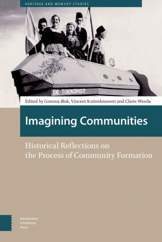
Imagining Communities
Gemma Blok, Vincent Kuitenbrouwer, Claire Weeda (red.)
